
 Synectics announces its latest Synergy software release. Bringing together powerful new geolocation features, mobile-first incident creation, and advanced video security, these developments enable operators to respond faster and act more effectively.
Locate incidents with greater accuracy and context
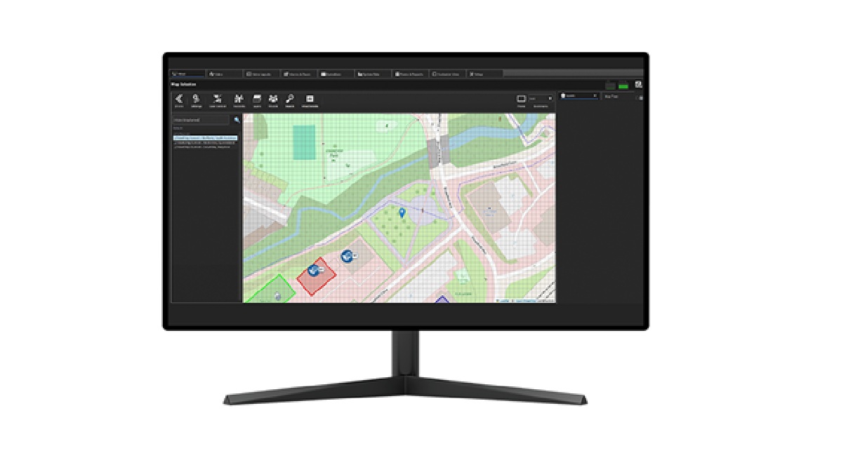
Synergy’s latest release introduces what3words, enabling ultra-precise geolocation tagging to support faster, more accurate incident coordination – particularly in remote, complex, or hard-to-describe environments. These capabilities build on Synergy’s existing support for a wide range of mapping sources, including OpenStreetMap, Google Maps, and locally hosted CAD and image files for site and floor plans. By combining internal, local, and wider situational mapping, the platform offers a comprehensive view of assets, environments, and incident locations.
Act on intelligence from the field
Field personnel, such as security patrols, maintenance engineers, and HSE teams, can now collaborate on incidents in situ by submitting evidence, triggering alerts, and initiating workflows directly from the Synergy mobile app. This ensures that critical information reaches the control room more quickly and consistently, regardless of where teams are operating.
Protect data and prevent unauthorised video sharing
Synergy now includes video watermarking on the web, mobile app, and core system.
Watermarking is an essential security feature that embeds the system owner’s identity and operator username directly into live, recorded, and incident video footage. This provides a powerful deterrent against unauthorised sharing.